

HIC 2009, the 9th International Conference on Hydroinformatics
ARGOMARINE: a new oil spill early warning system integrating modeling, in-situ and remote sensing
Flávio Martins, João Janeiro, Suruj Babwah, Nathalie Verelst, CIMA, University of Algarve, Campus da Penha, 8005-139 Faro, Portugal
Michele Cocco, Parco Nazionale Arcipelago Toscano, Via Guerrazzi 1, I-57037 Portoferraio, (LI)-Italy
Abstract
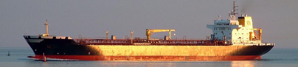
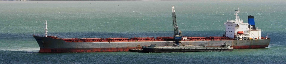
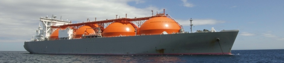
Short Sea Shipping is a central part of the logistics chain for transport in Europe, delivering nearly 40% of the total tonne-kilometres per year, only superseded by road transport with 44%, Ferraro et al. [1]. Between 1995 and 2004 the transport in this sector increased by 32% in EU-25 countries, and while increase in sea transport can be desirable from an economic point of view, it places a growing burden on the marine and coastal zone environment due to the risk of pollution. The Mediterranean Sea is particularly exposed due to its intense oil transport. It gives maritime way to Europe, for the oil produced in the Middle East, in Northern Africa and in the Caucasus. According to the Regional Marine Pollution Emergency Response Centre for the Mediterranean Sea [2], 360-370 million tons of oil and refined products is transported annually through Mediterranean Sea, representing 20-25% of the world total. Due to this the Mediterranean Sea is often quoted as one of the places in the world with the highest risk of oil pollution.
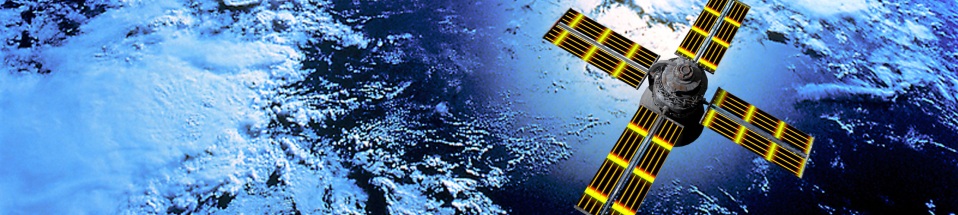
Decision-makers need efficient pollution monitoring and forecasting systems providing continuous and reliable real time access to all available observations as well as forecasts of sea variables and oil spill fate for the area of interest. These systems must seamlessly integrate all data and must have software for analysis, decision-support and intervention planning. The ARGOMARINE system is a pilot study implementation of this concept, currently under construction for the Tuscany archipelago (Italy). The top control is carried out by a Marine Information System (MIS) consisting of a network for data storage, data mining and analysis, decision-support, data warehouse and a web-GIS portal. The communication relies on an Integrated Communication System (ICS), developed to ensure reliable and efficient data transmission from different sensors and models to the MIS. When fully operational the system will be receiving data from the modeling system and also from Synthetic Aperture Radar (SAR) images, airborne Hyperspectral/Thermal Imaging, AUV/Glider mounted sensors and Electronic Noses. For this project a consortium was created consisting of nine top research institutions in Europe: National Technical University of Athens, Greece; National Research Council – Institute of Information Science and Technologies, Italy; Nansen Environmental and Remote Sensing Center, Norway; Environmental and Marine Research Center – University of Algarve, Portugal; Sciensive Technologies Limited, UK; National Maritime Park of Zakinthos, Greece; Joint Research Center – Institute for the Protection and Security of the Citizen; NATO Undersea Research Centre and National Park of the Tuscany Archipelago, Italy, the coordinator.
In this article a global perspective of the ARGOMARINE system is given, followed by a detailed description of the mathematical models being developed for sea and oil spill forecasts.

Category: News
Subscribe
If you enjoyed this article, subscribe to receive more just like it.


