

Home
ARGOMARINE Project – The Final Project Video
The official final video illustrating objectives, activities ad results of ARGOMARINE Project
Final International Conference:
NEW STRATEGIES AND TECHNOLOGIES FOR THE SAFETY OF NAVIGATION IN THE MEDITERRANEAN SEA

21 November 2012
Isle of Elba
Centro Culturale De Laugier, Portoferraio
With the presence of:
Massimo Avancini, Ministery of the Italian Environment
Enrico Rossi, Governor Regione Toscana
Franco Gabrielli, Chief of Department, Department of the Civil Protection of Italy
Admiral Pierluigi Cacioppo, General Commander of the Italian Coast Guard
See all the presentations of the ARGOMARINE Final International Conference
Automatic Oil spill Recognition and Geopositioning integrated in a Marine Monitoring Network
Start: September the 1st, 2009
End: November the 3oth, 2012
The project is supported by the European Commission under the Transport Theme of the 7th Framework Programme for Research and Technological Development.
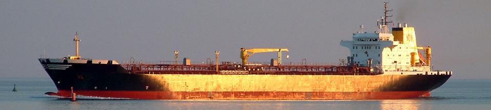
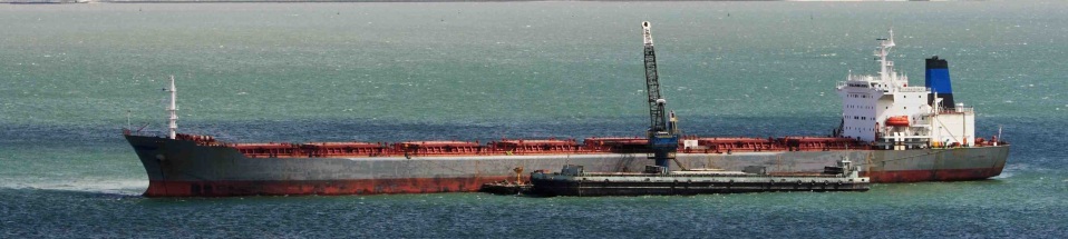
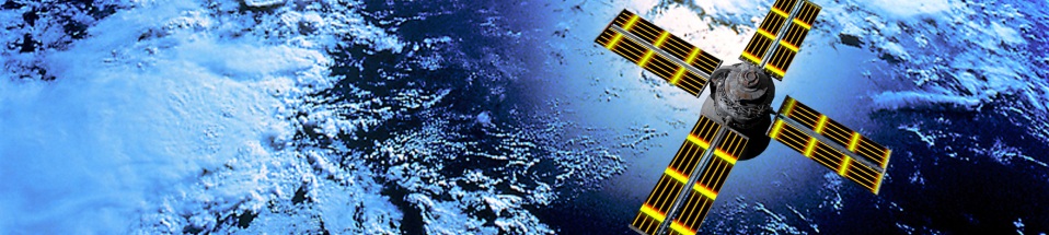
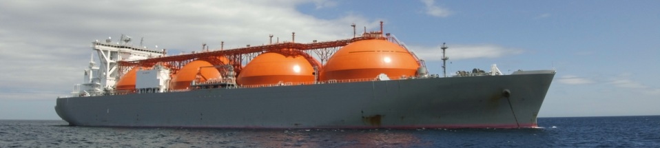
The concept of the ARGOMARINE proposal is the monitoring of the marine traffic due to carriers and commercial ships through environmental sensitive sea areas. This monitoring will be realized by means of sophisticated electronic, geopositioning, and telematic tools connected through a high speed network along with data transmission through suitable data links. Data from different sources will be collected in an independent and remote fashion and sent to a main acquisition and elaboration central unit. Motivation and scope of the Argomarine project is the safe detection, notification and interventions on vessels in emergency situation and the protection of sea and insular environment, endangered by heavy and continuous activities, mainly due to intensive ship traffic, generating a consistent pollution risk.
The envisaged goal is connected to the necessity of precise and punctual pollution control in areas and shores which are, for instance, of particular naturalistic value, and/or are exposed to risk of accidental or even intentional contamination due to their vicinity to industrial or highly densely populated settlements, or crossed by a heavy ship traffic. All the data and the information obtained will be merged and elaborated in a Marine Information System (MIS), i.e. an information system where remote sensing data, field experiment results and estimates from simulation models will be integrated, and tools for data storage and retrieval, data manipulation and analysis, as well as for presentation, will available through a common interface.
